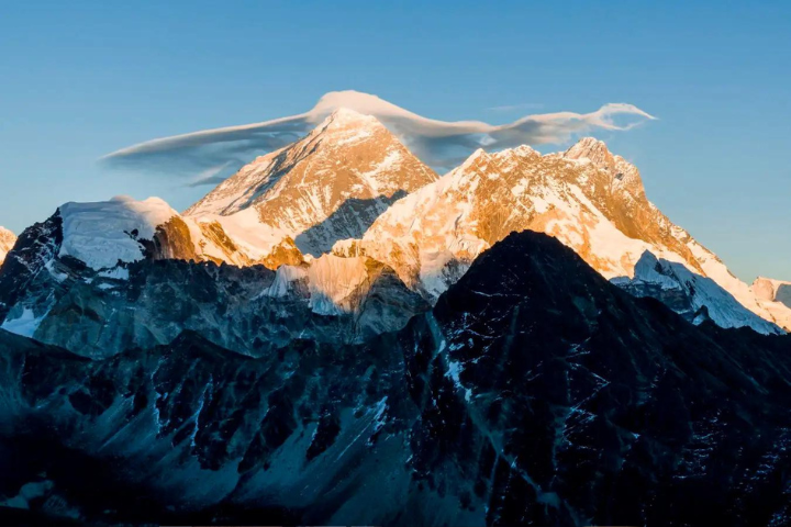
Mount Everest has been gradually increasing in height over the years due to the collision of tectonic plates over millennia. However, a recent study suggests a relatively sudden growth spurt in the world’s tallest peak, now attributed to a phenomenon known as “river piracy.”
Mount Everest’s Rise from River Capture
The study published in Nature Journal analyzed GPS measurements over the years and concluded that Mount Everest, also known as Chomolungma or Sagarmatha, is growing at a rate of 0.08 inches (2 millimeters) per year, double the usual rate of 0.04 inches (1 millimeter) per year.
The study conducted by researchers at University College London stated that it “uncovers a previously unrecognized, additional mechanism of rock uplift active since river capture.”
Mount Everest stands at 8,849 meters tall, while the nearby peak K2 reaches 8,611 meters. The other three highest mountains in the Himalayas have elevations of 8,586 meters, 8,516 meters, and 8,485 meters, with an elevation difference of no more than 100 meters among them.
The researchers suggest that the increased height of Everest may be due to the erosion of rocks beneath the mountain’s base, caused by the rivers flowing through the area over the years.
In scientific terms, this phenomenon is referred to as “river drainage piracy” and “river capture.” The erosion of rocks seems to impact the nearby peaks more significantly than Mount Everest itself. This process is attributed to the merging of two rivers that occurred tens of thousands of years ago.
The “river capture event” occurred in the Kosi River drainage basin approximately 89,000 years ago, when the Kosi River merged with its tributary, the Arun River, resulting in a change of course.
Researchers Explore Everest’s Growth
The researchers investigating the question, “Is there an underlying mechanism raising Everest ever higher?” sought answers from the surrounding rivers.
The Arun River drains a vast area north of the Everest region before it turns south.
To reach their conclusion, the scientists utilized computer models to reconstruct the river capture process.
“Our best-fit model suggests the capture event occurred approximately 89,000 years ago and caused acceleration of downstream incision rates,” wrote the researchers in the study, as reported by Wionews.
“We suggest that part of Chomolungma [Everest]’s anomalous elevation (~15–50 m) can be explained as the isostatic response to capture-triggered river incision, highlighting the complex interplay between geological dynamics and the formation of topographic features,” said the study.


