Scientists have found a 120-million-year-old part of Earth in Borneo, previously believed to be lost. The tectonic plate named Pontus was identified by graduate geologist Suzanna van de Lagemaat and her supervisor, Douwe van Hinsbergen, through their analysis of geological data from mountains in the Asia-Pacific region.
The Ancient Pontus Plate In Borneo
She discovered evidence of the ancient Pontus plate in Borneo while examining the rock formations. “We thought we were dealing with relics of a lost plate that we already knew about. But our magnetic lab research on those rocks indicated that our finds were originally from much farther north, and had to be remnants of a different, previously unknown plate,” she stated, reported by Wionews.
To investigate the Pontus plate, Van de Lagemaat analyzed the Junction Region, a complex area of tectonic activity that encompasses Japan, Borneo, the Philippines, New Guinea, and New Zealand.
She gathered data from her research, which she used to reconstruct tectonic plate movements in the region since the time of the dinosaurs.
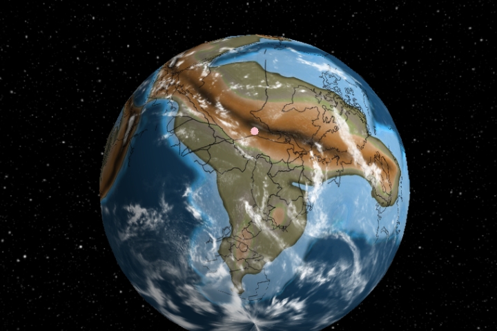
The Pontus plate was part of the Earth’s crust before the breakup of the supercontinent Pangaea. To gauge its size 160 million years ago, scientists conducted reconstructions and estimated it to be about a quarter the size of the Pacific Ocean. Its study helps scientists understand historical tectonic movements and the evolution of the Earth’s crust.
Pontus Plate’s Connection To Borneo’s Geography
A vast ocean once separated Eurasia and Australia, with the Pontus plate located beneath this body of water. As Pangaea fragmented, the plate was engulfed by other tectonic plates, which now support countries like the Philippines and Borneo.
Borneo is the world’s third-largest island and part of the Greater Sunda Islands in Southeast Asia. It is politically divided among Malaysia and Brunei in the north and Indonesia in the south.


GIPHY App Key not set. Please check settings